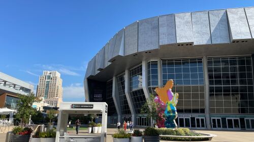
49. That’s Sacramento’s score out of 100 on Walk Score’s walkability meter, making it a “car-dependent city.” Although, it can get so hot in the summer that we bet that score drops to zero in July and August.
A walk score is a numeric ranking that represents the walkability of an area based on pedestrian-friendliness + access to businesses.
Points are given based on the distance between residential areas and businesses, including restaurants, retail, and entertainment. Anything outside a 30+ minute walk is given 0 points. A city’s walkability score is found by calculating the average walkability of many residential addresses in a city.
Although our city as a whole isn’t very walkable, there are some neighborhoods that lend themselves to a higher walkability score. In other words, we’ve hit the pavement. Here’s how three neighborhoods across Sacramento fare.
👟 Midtown
This neighborhood has a walk score of 94, making it a walker’s paradise. It is located between Downtown and the Capital City Freeway + is home to several restaurants and bars. Walk Score also gives Midtown a bike score of 99.
👟 Del Paso Heights
Just next to North Sacramento, this neighborhood has a walk score of 52. It is classified as somewhat walkable, and some errands can be accomplished on foot. It features Mama Marks Park + Grant Union High School.
👟 Hollywood Park
This neighborhood — located southwest of William Land Park — has a walk score of 82. It is considered very walkable + features several restaurants and shops, like Boba Cafe and Oto’s Marketplace.
Need a quicker way to get around? Biking makes travel around Sacramento a bit easier. Walk Score currently gives our city a bike score of 67, making it bikeable.
The city has created a bikeways map showcasing some of the best bike paths in our area, along with points of interest to visit along the way. 🚲


